Stage 13 - Greenhithe to Cliffe - August 21st
- John Tippetts
- Sep 19, 2023
- 7 min read
Updated: Apr 15, 2024

For stages 13 and 14 it would be necessary to stay away as it would be totally impractical to commute from home. When I did this walk last year I stayed at the Rochester Premier Inn. This is actually in Strood on the other side of the Medway! I chose this for a number of reasons –
· I wouldn’t need to drive other than to and from my local station at Huntingdon
· Strood has a railway station
· the high speed train service from St Pancras – HS1 – takes 34 minutes to get to Strood
· being on a bus route, the Premier Inn is easy to get to from the station
· Strood has the bus links to both Cliffe and Grain
· Premier Inn breakfasts start at 6:30. Really handy for getting an early start.
· Premier Inns offer a left luggage service unlike Travelodge. Left luggage services like LuggageHero don’t extend this far out of London. After checking out of the hotel, being able to safely leave my luggage for the day whilst out walking would be vital.
· I really like Premier Inns!
Had it not been for the lack of left luggage service, the Rochester Travelodge would have won!
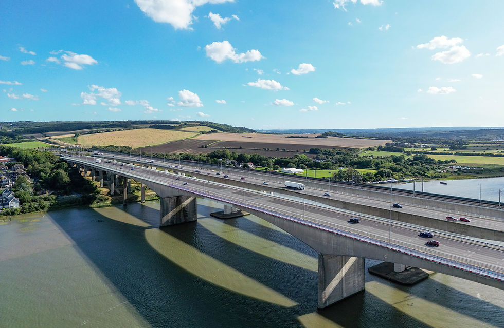
Having stayed at this Premier Inn last year it was a no-brainer for this year. Its rooms overlook the River Medway and for a nerd like me who loves bridges, there is the Medway Viaduct just a couple of hundred yards away. The Medway Viaduct has two road bridges carrying the M2 over the Medway and a third carrying the HS1lines over the river. A new UK railway speed record of 208mph was achieved by a Eurostar train in 2003, as it crossed this bridge – so there!
So, after getting home from my stage 12 walk to Greenhithe on Saturday, I set off again on Sunday lunchtime for Strood and checked into the Premier Inn mid-afternoon. As requested, I had a room overlooking the Medway and of course the bridges!


On Monday morning I was down early for breakfast. I sneaked out a couple of pain au chocolat for a planned mid-morning snack in Gravesend. I got the 170 bus to Strood Station, caught the train to Greenhithe and by 8:15 I was back on the path.
The morning started like my Saturday walk from Woolwich – very grey and overcast. Despite the greyness, the QE11 Bridge still looked amazing

The path briefly left the river and took to the streets of Greenhithe. Very soon the houses and apartment blocks came to an end and I was walking along Swanscombe Marshes towards one of today’s highlights – the 400 kV Thames Crossing! Unless you are blind it’s totally impossible to miss the 2 pylons that carry 400 kV power lines across the river to West Thurrock; they can be seen for miles around. The pylons are the tallest electricity pylons in the UK at 190 metres. To give you an idea of scale, the BT Tower in London is 189 metres high. Best of all, the ECP takes you right under the Swanscombe pylon! It’s amazing standing under it, admiring the construction of this beast; bit of a shame that it was so grey though.


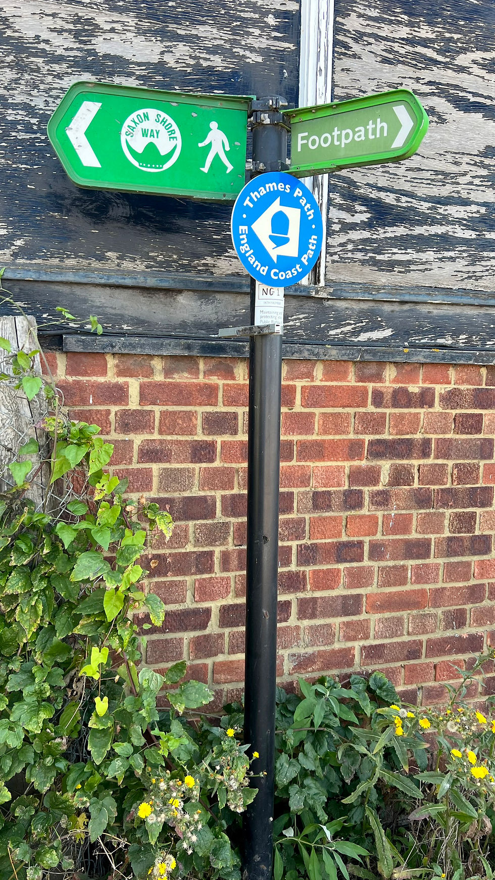
The path doesn’t go the tip of the Swanscombe Peninsula and walkers are given a stern warning not to attempt this. I did as I was told and followed the signs for the path across Botany Marshes before exiting into an industrial estate in Northfleet.


After passing Ebbsfleet United’s ground, the signs directed me back towards the river. I remember from last year that the path passed through some pretty run-down industrial areas in Northfleet and it was the same this year. Eventually however I emerged into an industrial estate that was a little less threatening let’s say. The estate was dominated by Kimberley-Clark where they make Andrex loo rolls and a huge Lidl distribution centre.


Last year it hadn’t been possible to continue straight on after Lidl and there had been a longish diversion through the streets of Northfleet. The diversion was in place as groundworks were being carried out for a large new housing development called Cable Wharf. This year I could see some houses had been built and there were ECP signs directing me through the estate. “ECP signs” is actually a bit of an exaggeration; “ECP sign” is the truth of it. I was very pleased not to be diverted, so happily and innocently followed the sign. All was going well initially but very soon I was well and truly on my own, walking alongside an active building site with no barriers in place. I was sure this couldn’t be right because eventually I came to a dead end. A couple of builders even asked me why I wasn’t wearing a hard hat!


I turned back to find a different route through the site and eventually came to some barriers with ‘Pedestrian route’ printed on a sheet of paper. However, these too came to a dead end. Eventually a site foreman came up to me and asked me how I’d got to where I was. He told me that I should have been stopped by a gateman long before I entered the building site. He kindly escorted me off the site and I emerged where I hoped I would be.


I was now in Gravesend on a path by the side of the river and all was well again. There was even a glimmer of blue sky. One of Gravesend’s points of interest is the statue of Pocahontas in St George’s Churchyard. It’s only a very short distance to deviate so I decided to take a look. The statue commemorates the life of a Native American woman known in popular culture as Pocahontas. She converted to Christianity and married an Englishman. They came over to England for a stay in 1616. To cut a long story short, on their way back to America in March 1917 she got ill and aged 22, died in Gravesend. She is believed to have been buried in St George’s Church. History lesson over.
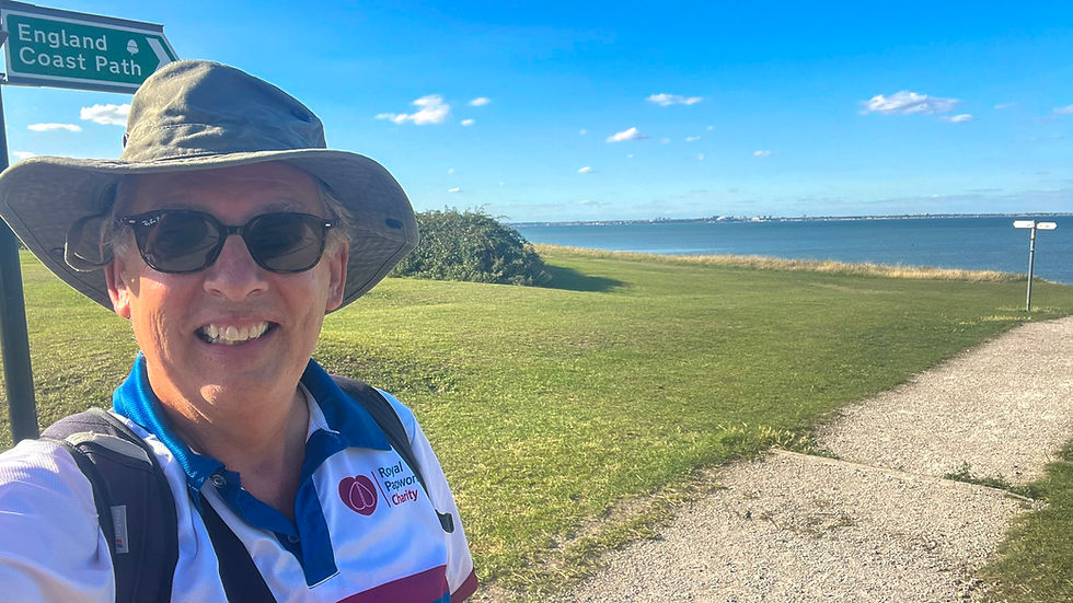
Anyway, whilst I was taking photos of the statue, a group of Gravesend residents waited patiently for me to move. They noticed the Papworth logo on my t-shirt and next thing you know, one of the ladies took out £5 from her purse and handed it to me as a donation. I didn’t get any of their names but whoever you are, thank you very much!


Back on the path I was now by the riverside again. After passing the elegant pier and lightship LV21 I reached Gravesend Promenade and more importantly, the Promenade Café. It was 11 o’clock and time for a coffee and the pain au chocolat from breakfast.


I do love the Promenade Café. There is something rather seasidy about it. If nothing else they have the largest number of pavement signs I think I’ve ever seen! As well as my hot drink I ordered a sandwich that I would eat later on, bearing in mind there would be nowhere to get any food between here and the end of my walk. Right on cue, the clouds were really breaking up now.


From the promenade I followed the same diversion I walked last year that went through one of Gravesend’s industrial estates. Once back by the river I was happy as Larry. The section from this side of Gravesend to Cliffe Fort is 3 miles of brilliance, walking on marshland alongside the river with plenty of wild horses for company.


I passed what is left of Shornemead Fort and took a look ‘inside’. This was an artillery fort built in the 1860’s and used by the military until it was abandoned in the 1950s. Its purpose was to guard the entrance to the Thames from seaborne attack.


Eventually I reached the finger of land between the river and the largest of the manmade lakes known collectively as Cliffe Pools. The lakes were created from clay extraction for the cement industry until 1972. A certain amount of infilling has been taking place since then with river dredging deposits and other licensed material. The site was acquired by the RSPB as a reserve in 2001. I understand that the spoil from HS2 tunnelling and other excavation works is being transported here and in conjunction with the RSPB, this material is being used to enhance the wetland habitat for wading birds and wildlife at Cliffe.


The path continued along this finger of land and I soon reached Cliffe Fort, sitting in the middle of an aggregates processing plant. This was definitely drone time. Cliffe Fort was built around the same time as Shornemead Fort and for the same purpose. It was eventually sold to the former owners of the aggregates plant and the current owners are Brett Aggregates Ltd. There is no public access allowed (but not to say people don’t get in!). I definitely think it looks best from the air!


Cliffe Fort is where I finished my Thames walk today. I had to make my way from there into Cliffe and catch my bus to Strood. There are loads of footpaths within Cliffe Pools and I’m glad I had my Ordnance Survey app running on my phone to make sure I took the right ones.
I reached The Six Bells at Cliffe with 4 minutes to spare until my bus left – it’s the 133 service. Rather than have a pint here and catch the next bus to Strood, I got on this bus and had my pint at the “10:50 From Victoria” micro-pub in Strood. This is an absolute hidden gem of a pub I discovered last year when I was down here. It’s so quirky and definitely suited to people of my age! It reminds me of Last Of The Summer Wine. And as for that tuna sandwich I bought in Gravesend - I finally got to eat & enjoy it, despite the crusts having gone a little hard!


I’d now completed the 2nd of the ECP walks with my left foot hurting as normal. Tomorrow I’d be walking from Cliffe to the sea at Grain and thereby complete my challenge to walk the Thames Source to Sea in 14 stages. I was very excited!


Comments